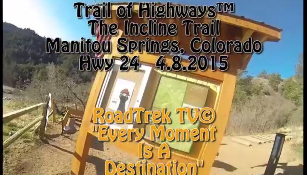
Trail of Highways™ The Incline Trail Manitou Springs, Colorado Hwy 24 4 8 2015 sq 1
Trail of Highways™ The Incline Trail Manitou Springs, Colorado Hwy 24 4 8 2015 sq 1
This hike took me one hour and ten minutes, others in our party did it in under a hour and still others even longer. This hike isn’t for the faint of heart.
The Incline is ranked at the 4 toughest stair climb in the world. you gain 2000 ft elevation in under a mile. (.09) Hiking up means just that, its perfectly straight up. The trail use to be a cable care line that took tourist up the mountain till 1990, most of the trail is a 40 percent grade. At about .06 up the trail you will come to what is know as the bail trail, if you feel you can’t make it to the top. The Barr Trail is only a few yards away leading you to the parking lot.
Once you are at the top take a moment to feel the exhilaration of making the climb. Take some time to notice the other peaks, do a selfie and hike or as some do jog down the Barr Trail.
Please don’t hike back down the Incline Trail, Its Dangerous for You and the Folks Climbing Up!
Length: 0.9 miles to the top of the Incline. 3.4 round trip with Barr Trail.
Directions: Exit US-24 to Manitou Avenue and drive to downtown Manitou Springs. On the roundabout turn on to Ruxton Avenue. It is often tough to find parking along Ruxton and you might need to park further down. The Barr trail parking lot is $5 per 24 hours and should be used for Barr trail only. Do not park in the Cog’s parking lot or on private property. The actual trailhead is in the back of a parking lot across from the Cog train station.
Happy Trails
RoadTrek TV ©
“Every Moment is a Destination”


